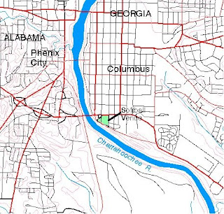
This map was made using Digital Line Graph (DLG) data. DLGs portray the linear information contained on the USGS topographic maps, such as transportation networks, hydrography, boundaries, elevation contours, and manmade features.
http://ga.water.usgs.gov/olympics/columbus.html
No comments:
Post a Comment